I typically keep my distance from anything even remotely related to snakes, but I recently traveled to the Idaho–Oregon border to experience the expansive beauty of Hells Canyon and the Snake River, the largest tributary of the Columbia River. Thankfully, at least according to the National Park Service, the river’s name comes not from an abundance of the slithery reptiles, but “from sign language—a serpentine movement of the hand with the index finger extended—that referred to the weaving of baskets or grass lodges of the Snake or Shoshone Indians.”
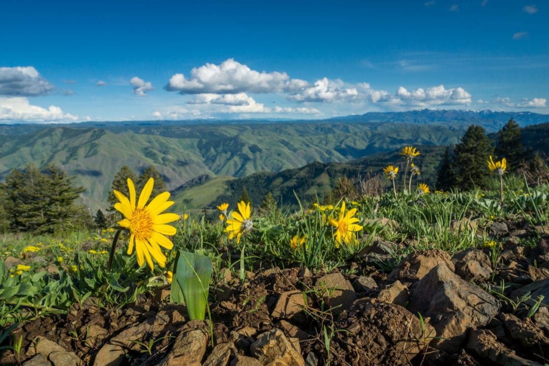
The river forms the two state borders with the Wallowa Mountains of Oregon on the west side and the Seven Devils Mountains of Idaho to the east. In 1975, the area was designated by the U.S. Forest Service as the Hells Canyon National Recreation Area (HCNRA). Visitors can enjoy river rapids, fall foliage, hunting, and fishing from May to October. In the spring and summer, the canyon offers breathtaking fields of wildflowers, and snowy vistas from late fall to early spring. Three popular overlooks are Hat Point, Buckhorn, and Hells Canyon—but be aware that some areas are only accessible by water, hiking trails, horseback, or ATV.
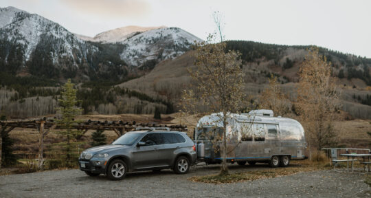
Outdoor activities include camping, kayaking, rafting, hiking, horseback riding, and even guided trips with llamas to help carry packs. Several cabins, cottages, and motels can be found within an hour of the canyon. Idaho Power has four campgrounds located on the river, and the Wallowa-Whitman National Forest’s site has various lodging options, as well.
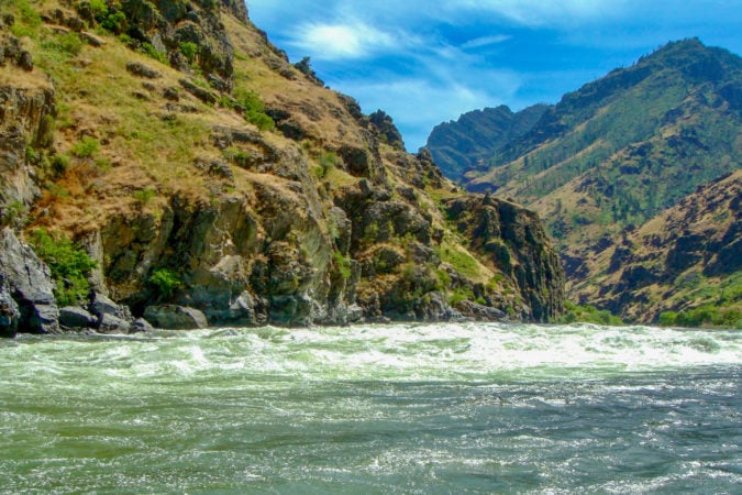
I join a small group for a jet boat cruise down the “Wild and Scenic” section of the Snake River. The jovial tour guide keeps us all laughing and learning. I’m an English teacher, so I’m particularly interested to learn that Hells Canyon has no apostrophe (indicating the possessive, as in “Hell’s” Canyon). But what it does possess is more than 600,000 acres of rugged, spectacular terrain.
Pioneer life
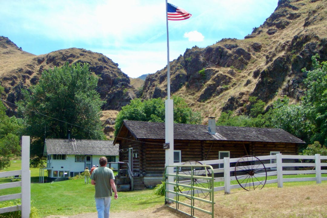
Native Americans have lived along the river for thousands of years, due in part to its abundance of fish and game. Among the first white settlers—in what is known as the Kirkwood Bar—were Dr. and Mrs. Kirkwood and their child. We experience the early 1900s with a visit to Kirkwood Ranch, which includes the original house, several outbuildings, and prehistoric artifacts. The Kirkwoods built two log cabins on the flat area; after they moved to Lewiston in 1885, cattlemen bought the ranch, which is now a National Historic Landmark.
Our tour also highlights the lives of Grace and Len Jordan and their three young children who worked the land as sheep farmers in the early 1930s. They moved to Idaho hoping to escape the challenges of the Depression and became early 20th-century pioneers with their herds of sheep, growing their own food and homeschooling their children. A mail boat from Lewiston brought supplies and mail weekly (if water levels and weather conditions allowed). In Grace’s 1954 book, Home Below Hells Canyon, she writes about the daily challenges her family faced.
The log cabin is filled with informative displays with some prehistoric relics and items from the previous occupants. Less than a mile away is the Carter Mansion—a vertical log house built in the 1920s by Dick Carter, who made his living making and selling moonshine during Prohibition.
Deeper than the Grand Canyon
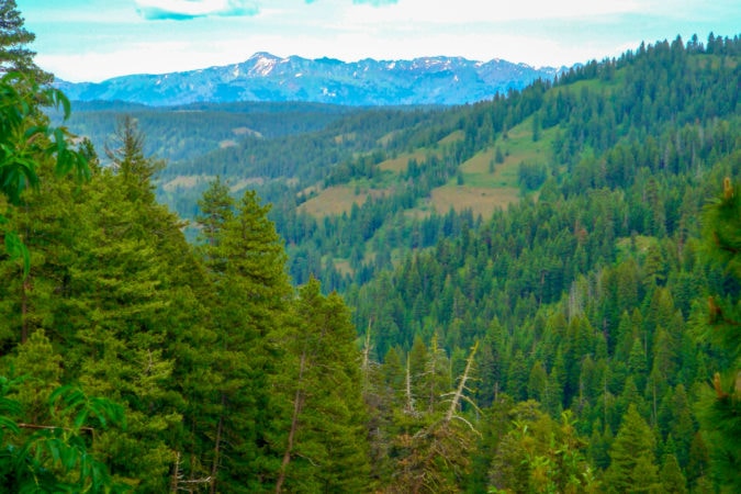
Carved by the Snake River, Hells Canyon is the deepest river gorge in North America (its maximum depth of 7,900 feet makes it almost 2,000 feet deeper than the Grand Canyon). First referenced in an 1895 edition of McCurdy’s Marine History of the Pacific Northwest, there are no roads that cross over this 27-mile area, even today. At its widest, Hells Canyon expands 10 miles, with three access roads between the dam and the Oregon–Washington border.
Before the Snake River was named as we know it today, other monikers preceded it. In the early 1800s, Lewis and Clark called it Lewis River or Lewis Fork. Later, Native Americans described it to explorers with a curving hand movement; misinterpreted as a snake, the name stuck. The river begins in Wyoming at the southeastern corner of Yellowstone National Park, flows through the eastern basin of the Teton Range, winds through southern Idaho, then runs north between Idaho and Oregon. It ultimately flows into the Columbia River in Washington and empties into the Pacific Ocean.
But it isn’t until I venture into the steep canyon—where bighorn sheep and mountain goats teeter on cliff sides and bald eagles soar in circles above our heads—that I develop a newfound respect for the land’s original inhabitants, the pioneers who followed them, and the paths they plowed and the mountains they climbed along the way.
If you go
Visit the Hells Canyon National Recreation Area website for maps and more information.

Meet the Authors

- Related Articles
- Latest Articles