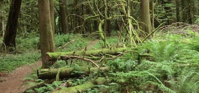

The Pioneer Bridle Trail can be enjoyed in short accessible segments. It also provides a pleasant alternative to hiking, biking or horseback riding along the shoulder of Highway 26. From Road 20 to 2639, the trail essentially follows along the south side of Highway 26 intersected by both Tollgate Campground and a variety of forest roads. The trail crosses Highway 26 4.6 miles from the beginning, following Road 2639 approximately 100 yards up its east (right) side. There, a yellow metal sign signifying the route of a buried cable indicates the point of continuation. From 2639, the trail climbs via switchbacks into an open area, part of the 1952 Zigzag burn. The trail then begins to climb, levels off, crosses a saddle, then fluctuates until a scree slope is crossed. A dangerous abandoned mine shaft is passed 6.5 miles from the trailhead. A few hundred yards past the shaft, pass a short spur trail leading to Highway 26 to a point below the Barlow Road Historical Highway marker. From this point the Bridle Trail travels downhill under the old highway via a tunnel and along an abandoned section of road. Stay on the main route, traveling uphill, and cross a small stream twice. The trail switchbacks in a wet area where cedar logs and extensive drainage ditches halt erosion. A few hundred yards further, a wide spur trail to the east (left) leads to Enid Lake, a very shallow, muck bottomed pond.
Be the first to add a review to the Pioneer Bridle Trail.
/-121.8582363,45.3065265,14/300x172@2x?access_token=pk.eyJ1Ijoicm9hZHRyaXBwZXJzIiwiYSI6ImNsdjQ5N2VtZDA2bW8ycW13ZHAxeGhjbjkifQ.UIccpoAxc7g3BAuK4s9vjg)
Pioneer Bridle Trail
Hours
Problem with this listing? Let us know.
Has RV parking changed? Let us know.
-
Parking
-
Pets Allowed
-
Restrooms
-
Wifi
-
Wheelchair Accessible
-
Credit Cards Accepted
Nearby Hotels
Related Trip Guides
- Trip Guide
A road trip to filming locations featured in 'The Goonies'
- 6 Places
- 00:57
- 28 mi
- Trip Guide
The Ultimate Guide to Crater Lake National Park
- 15 Places
- Trip Guide
- Weekend
Pacific Coast Highway: Oregon - Washington
- 30 Places
- 17:36
- 670 mi
- Trip Guide
The top things to do on a U.S. Route 20 road trip
- 23 Places
- 60:25
- 3,576 mi