“a determined hiker's dream”
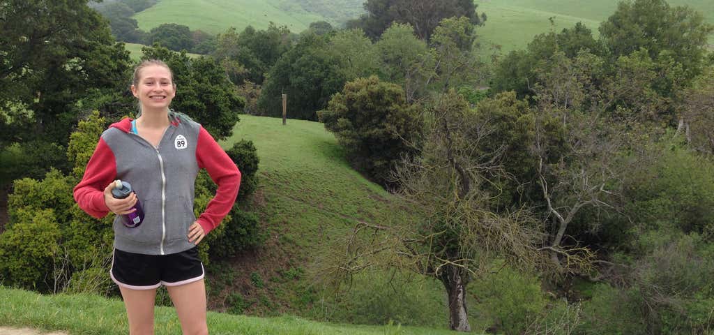
Rising steeply to the east of the city of Fremont, Mission peaks form a dramatic backdrop to the South Bay. The determined and conditioned hiker who reaches the top of Mission Peak will be rewarded with views of Mount Hamilton to the south, the Santa Cruz Mountains to the west, Mt. Tamalpais to the north, and Mt. Diablo and the Sierra Nevada to the northeast. Hawks and vultures share the summit airspace with sailplanes riding the thermals, and a down-to-earth herd of feral goats roams the cliffs. This is a very popular park, particularly on weekends, with hundreds of visitors attempting the 3-plus-mile hike to Mission Peak. About five hours are required to reach the summit and return. This parkland's 3,000 acres are accessible from parking lots at Ohlone College (slightly longer hike, but more gradual ascent; plenty of parking on weekends) or from a small staging area at the east end of Stanford Avenue in Fremont (steep climb to the summit; parking lot is extremely congested on weekends). There is no access to the park from Mill Creek Road.

Could be a wonderful hike but WAY too many, and too loud fellow hikers on one trail. For some reason groups of hikers have a contest to see who can talk the loudest all the to the top of the climb. No one seems to want to just enjoy the view.
Be the first to add a review to the Mission Peak Regional Preserve.
/-121.912250161188,37.5033381819917,14/300x172@2x?access_token=pk.eyJ1Ijoicm9hZHRyaXBwZXJzIiwiYSI6ImNsczF1Y3RwcTA0ZmgycHAwbngweHlmbDAifQ.G6RP_RvWmMx8yNQSHb3PGQ)
Mission Peak Regional Preserve
Hours
Problem with this listing? Let us know.
Has RV parking changed? Let us know.
-
Parking
-
Pets Allowed
-
Restrooms
-
Wifi
-
Wheelchair Accessible
-
Credit Cards Accepted
Nearby Hotels
Related Trip Guides
- Trip Guide
Pay Tribute and Reflect at These US Monuments and Memorials
- 14 Places
- Trip Guide
The Ultimate Guide To Joshua Tree National Park
- 53 Places
- 11:44
- 408 mi
- Trip Guide
The top things to do on an I-40 road trip
- 35 Places
- 49:44
- 2,851 mi
- Trip Guide
The top things to do on an I-10 road trip
- 55 Places
- 56:13
- 3,026 mi