A 21-mile multi-use trail extending from SE Portland to the town of Boring, Oregon. It is designed to accommodate hikers, bikers, wheelchairs and horses.

The Springwater Corridor comprises the southeast segment of the 40-Mile Loop regional trail system encircling the greater Portland area.
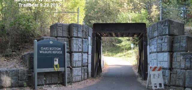
The Springwater Corridor follows the banks of the Willamette River from downtown Portland to Johnson Creek and then parallels Johnson Creek through neighborhoods, industrial districts, park refuges, and wetlands—eventually ending in the town of Boring. Portland's light rail and city buses enhance options and ease of travel along the route's length.
For a recreational tour, start at the Johnson Creek Boulevard trailhead; it provides ease of parking and avoids the on-road section between Ninth and 19th Avenues. Sellwood Riverfront Park is an alternate start point and worth a visit if you don't mind this bit of road section. The downtown start at SE Fourth Avenue and SE Ivon Street is another option. To avoid an industrial section from mile 8, which is not well traveled during the week or at night, choose the trailhead east of the I-205 Multi-Use Path at Flavel Street. The Johnson Creek Boulevard trailhead sits at mile 6.
Length: 21.5 miles
Trail end points: SE 4th Ave. and SE Ivon St. (Portland) to Clackamas-Boring Hwy. No. 174/SR 212 and SE Richey Rd. (Boring)
Trail surfaces: Asphalt
Info: http://www.traillink.com/trail/springwater-corridor.aspx
Be the first to add a review to the Springwater Corridor Trail.
/-122.55527102328,45.4758070125021,14/300x172@2x?access_token=pk.eyJ1Ijoicm9hZHRyaXBwZXJzIiwiYSI6ImNsczF1Y3RwcTA0ZmgycHAwbngweHlmbDAifQ.G6RP_RvWmMx8yNQSHb3PGQ)
Springwater Corridor Trail
Hours
Problem with this listing? Let us know.
Has RV parking changed? Let us know.
-
Parking
-
Pets Allowed
-
Restrooms
-
Wifi
-
Wheelchair Accessible
-
Credit Cards Accepted
Nearby Hotels
Related Trip Guides
- Trip Guide
A road trip to filming locations featured in 'The Goonies'
- 6 Places
- 00:57
- 28 mi
- Trip Guide
The Great Northern is a 3,600 mile, cross-country odyssey
- 57 Places
- 69:15
- 3,565 mi
- Trip Guide
The Ultimate Guide to Crater Lake National Park
- 15 Places
- Trip Guide
- Weekend
Pacific Coast Highway: Oregon - Washington
- 30 Places
- 17:36
- 670 mi