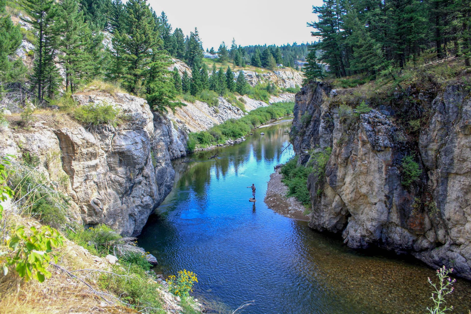
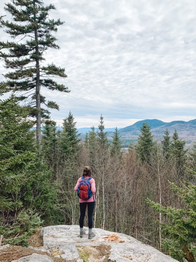
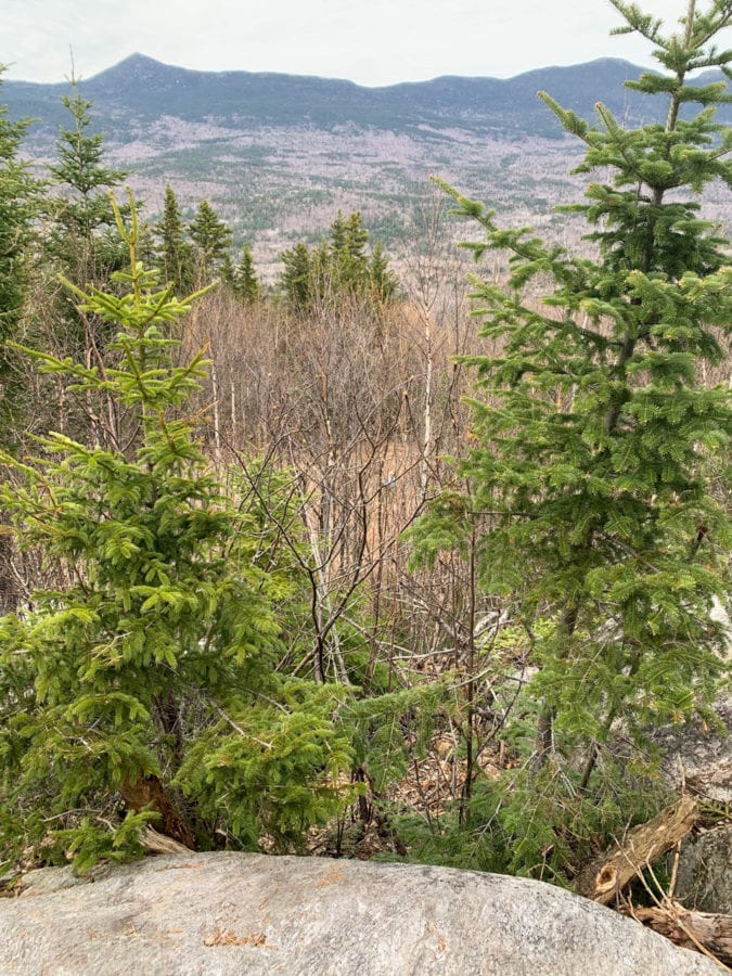
I’m walking through Maine’s Carrabassett Valley, the sun leaking through bare spots in the canopy above. Mid-spring in Maine feels more like the tail end of winter—the trees are still bare and the air has a chilly sharpness. The evergreens are dense, though, providing bursts of green. Below me, the graveled trail gives way to splotches of mud and stones, making the walk feel both wild and well-kept. In fact, this part of Maine is just that: well-kept wild.
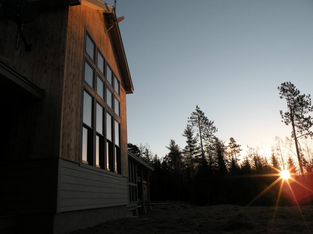
Maine Huts and Trails (MH&T), the nonprofit behind the trail I’m walking on, is one of the keepers of this wilderness. As I climb the final hill of Oak Knoll Trail, a stunning wooden lodge rises before me. This is Stratton Brook Hut, one of MH&T’s off-the-grid eco-lodges and my final destination. I drop my pack and run the rest of the way.
“I went to the woods because…”
How I ended up here is a longer story than the 3-mile walk from the Route 27 trailhead. I had recently trekked to Everest Base Camp in the Himalayas. After leaving Nepal, on a series of flights and a night bus from Boston, I finally arrived in Portland, Maine. Although I was taken with the city’s sea air and lobster rolls, all I really wanted to do was escape back into the wilderness. And it was here, in a fit of internet research, that I discovered MH&T—a trail system reminiscent of the hut-to-hut treks that I’d experienced in the Himalayas.
For those unfamiliar, a hut-to-hut system allows hikers and backpackers to experience backcountry trekking by staying in a series of well-kept lodges along a set route. MH&T is an 80-mile trail system connecting four eco-friendly lodges. The idea for the trail system was born in the 1970s by Larry Warren, and inspired by the hut-to-hut trails he’d seen in the European Alps.
So, how did this system find its way to the middle of Maine, oceans away from the original trails that inspired it? The answer is a unique story of protected lands and public access.
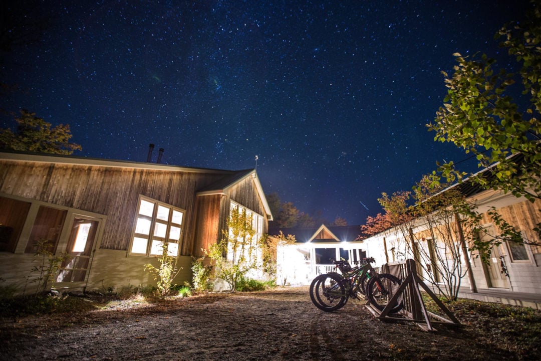
“One of the original goals of MH&T was to create an opportunity to experience Maine’s western mountain landscape,” says Wolfe Tone, executive director of MH&T. In fact, MH&T provides a service to transport large backpacks between huts each night, allowing hikers of various ages and abilities to walk the trail with just a day pack. Each hut can fit more than 30 people and offers communal dining, heated bunk rooms, compost toilets, hot showers, and other amenities. They run completely on hydro and solar energy. The trail system and huts are open year-round; backcountry skiing and snowshoeing are popular forms of transport in the winter.
In regard to the total mileage of the trail system, Tone says regional and conservation groups often cite the 359 square miles that make up the Maine High Peaks region. The real answer, however, is a bit more nuanced. As the trail continues northeast, it leaves the High Peaks and Bigelow Preserve and winds through the Dead River corridor. “I am not really sure how to characterize the square mileage of the whole trail network,” says Tone. “We’re bringing the adventurer through one section of Maine’s northern forest, which is 11 million acres.”
Open land
About 90 percent of the state of Maine is forested—the largest continuous forest expanse in the eastern United States. The vast majority of this forested land is privately owned and responsibly stewarded to provide natural resources like timber, habitats for wildlife, and recreational public access, a practice commonly referred to as “open land.” This arrangement has worked for generations, but due to shifting land ownership and increased financial pressure, things could start to change. Luckily, MH&T was ahead of the curve in navigating a solution to the issue.
“The story of the High Peaks, Bigelow Preserve, and the Dead River corridor is definitely one of amazing conservation efforts—one of the most inspiring and amazing in the country,” says Tone.
With 80 miles of trail snaking through a gorgeous swath of forest, MH&T worked with private landowners instead of against them. “Maine Huts and Trails was intentionally designed in partnership with private landowners,” Tone says. “We lease the land three of our huts are on, and we have lease agreements for most of our trail corridor.”
Much of the trail is owned by entities such as the Penobscot Indian Nation, Central Maine Power, and Carrabassett Valley Sanitary District. Tone describes the relationship between the nonprofit and private landowners as “absolutely essential.” MH&T only owns one section of the trail—a narrow corridor of land along the Dead River, which was purchased through a combination of private and public conservation money.
“I think the fact that the land use relationship is complex is part of what makes our story a little bit interesting,” says Wolfe. It’s also what sets MH&T apart from nearly any other hut-to-hut system in the world. “Many of the other hut systems that are out there in the world are situated on public land,” he says.
Due to the COVID-19 pandemic, the huts have been closed since March 15, and the MH&T team is following local guidelines for when to reopen. “We have a responsibility to do this right,” Tone says. “We can use this time to work together to imagine and plan how to make our trails better. We can get active and stay healthy, and we can share stories of our time in the woods.”
From my first step on the trail, I can tell that MH&T is a labor of love—a complex collaboration to preserve something precious before it’s gone. Standing on Oak Knoll, a breeze shudders through the bare branches, rustling the few new buds that reach toward the sun. I’m a world away, but here I find the same thing I found in the Himalayas—a place that still feels wild.
If you go
Due to the COVID-19 pandemic, the huts are currently closed. The trails are still open for hiking. Please check the MH&T website or Facebook page for the latest updates.
