While people flock to Yellowstone and Glacier national parks, those of us living in Central Montana relish our uncrowded trails and practically endless recreational opportunities along the Missouri River, prairie landscape, and nearby mountain ranges. From my home base in Great Falls, the greatest challenge is deciding what to do and which direction to go.
Winding through the heart of Great Falls, the Missouri River is the lifeblood of Central Montana. It’s natural for me to gravitate to the nearly 60-mile-long (with more in the works) River’s Edge Trail that follows the Missouri, for a quick walk or an extended bicycle ride. Roughly 20 miles of the trail is paved, while the remaining 40 miles offer spectacular routes through the grasslands, including courses with intimidating names such as “Mayhem” and “Chaos” that skirt along the edge above the river.
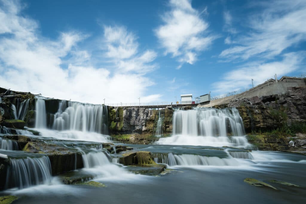
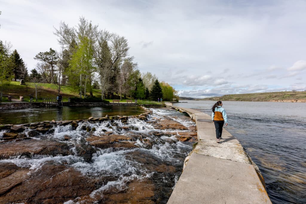
When anybody comes to visit, there seems to be an unspoken rule that I have to take them to Giant Springs State Park and the Lewis and Clark Interpretive Center. The entire area is steeped in Lewis and Clark history: this was where they navigated five waterfalls, as well as had run-ins with grizzlies, wolves, and massive herds of bison. They also took note of the park’s namesake springs. “I think this fountain is the largest I ever beheld,” wrote Captain William Clark. “The water of the fountain boil up with such force near its center that its surface in that part seems even higher than the surrounding earth, which is a firm handsom terf (sic) of fine green grass.”
Further reading...
An ocean of mountains
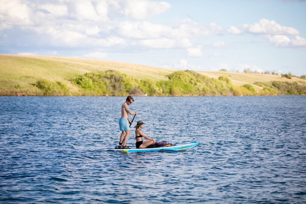
Following the Missouri River beyond Great Falls offers equally abundant recreational opportunities. North of town, beginning at Carter Ferry (the ferry will take your vehicle across the river for free), is one of my favorite day floats to the historic town of Fort Benton. I rent a raft from Montana River Outfitters around the summer solstice when the landscape is green and blooming, and see pelicans and bald eagles as I float and fish for walleye and drum.
South of Great Falls, anglers wade and float the Missouri River — a top-notch trout fishery — as soon as the weather allows. Not far from the town of Craig, the Missouri River flows out of Holter Dam with the reservoir behind it—I take advantage of warm mornings to paddle and fish short sections of this area in my kayak, gliding past dramatic rocky outcroppings and searching for bald eagles.
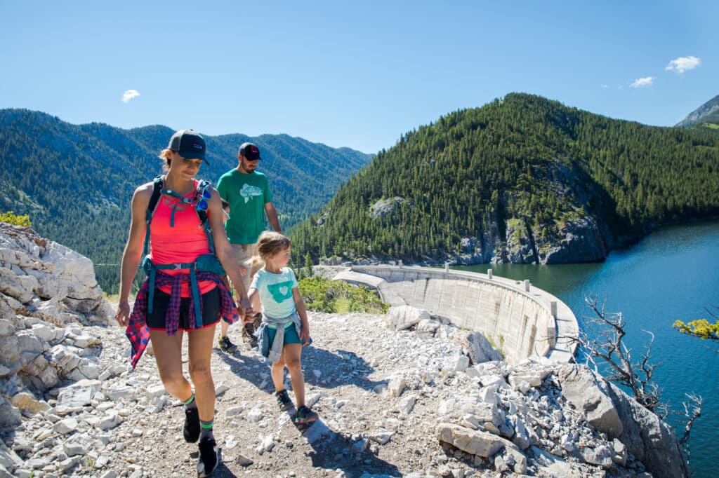
Beyond my time on the river, I spend much of the summer in the surrounding mountain ranges. While the Rocky Mountains — called the “Crown of the Continent” as they pass through Glacier National Park — are undoubtedly spectacular, more than 1.5 million acres in the Bob Marshall Wilderness Complex are just as impressive (and less crowded). When half of Glacier National Park was closed in 2020 due to COVID-19, I opted to hike the Rocky Mountain Front along the eastern edge of “The Bob” outside of the small towns of Choteau and Augusta. Although I had to end my hike due to a snowbank that covered the trail even into July, I know from previous experience that the views from the top of Headquarters are stunning, looking to the west at an ocean of mountains and east over an expanse of prairie.
New discoveries
Outside of Augusta is one of my favorite places: Sun Canyon. Driving out, I pass the Sun River Wildlife Management Area that provides a winter habitat for elk herds and other wildlife while it is closed to visitors from December 1 to May 15. On a day that the game range is open, it is akin to the Oklahoma land rush: people mob the area on foot, horseback, and in four-wheelers looking for elk antlers; a proper Montana Easter egg hunt.
Without a doubt, the Rocky Mountain Front is particularly dramatic, but we are fortunate to also have the Highwoods and Little Belt Mountains within an hour of Great Falls. Both of these island mountain ranges (independent groups of mountains within the prairie) are perfect for camping, hiking, fishing, mountain biking, or off-roading on dirt bikes or ATVs.
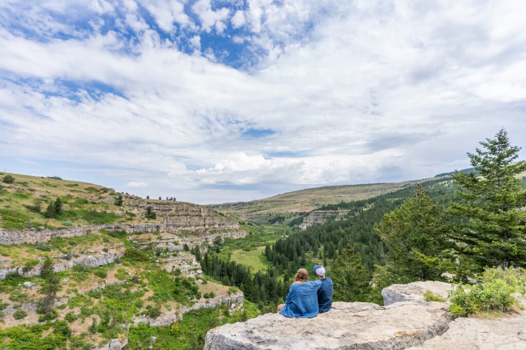
When I look at the striking cliffs and rugged landscape of the Sluice Boxes State Park (part of the Little Belts) it’s hard to believe I’m less than an hour from home. The approximately 6-mile (one-way) trail partially follows the grade of a former railroad to take workers to the silver mines, and ends at a ghost town. At first glance, the bulk of the Little Belts is heavily forested, but once I start on some of the trails, they open up to areas with spectacular views. The roads heading to the trailhead are for off-roading aficionados—be sure you have a high clearance vehicle with four-wheel drive and do not attempt to go before at least the middle of July. Thankfully, the actual trail is relatively easy with a spectacular payoff.
Once I arrive at trailhead #416, it is roughly a mile and a half to the top of the 9,175-foot summit, but the best part is hiking through the talus slope where pika reside. I listen for the “eep!” and look for a flash of a tiny animal that resembles a rabbit with short, rounded ears before it dashes under a rock. Close to the top, I walk through a flower-filled alpine area following the cairns to navigate to the top and I’m rewarded with a beautiful view of Rhoda Lake, along with six distant mountain ranges.
I think about how grateful I am to live in Great Falls, a fantastic base camp for exploring the heart of Central Montana. No matter how long I’m here, I am constantly amazed at what awaits just around the bend or up a new-to-me mountain.
Meet the Author
- Related Articles
- Latest Articles