Moving at 85 miles per hour, it was difficult to tell when the landscape changed, but I could see the effects of that change. The mills, the warehouses, and the smokestacks had melted away. The torrential river of cars had narrowed to a creek. In place of the gray concrete blocks were what looked like dark green florets of Brobdingnagian broccolis. They were the Poconos.
I was on Interstate 80, a coast-to-coast highway that extends for 2,900 miles from New Jersey in the east to California in the west. A little over 310 miles of it runs through the midriff of Pennsylvania, mostly through an expanse of forested peaks, woods, lakes, and valleys as it climbs to 2,250 feet, its highest elevation east of the Mississippi.
New York to South Dakota
Earlier that Saturday, I’d taken off from New York on a whim. I’d decided to drive to South Dakota, 1,400 miles away. Why not? I wasn’t interested in exploring popular attractions along the way, but to see the land itself and its changing face.
I drove on. And on. And on. In Ohio, Interstate 80 morphed into the Ohio Turnpike. Most of its 240 miles is tolled and passes through swaths of rural areas.
That’s when I saw an immense structure out on a field. A very long pipe, mounted on wheeled tripods, it just stood there, keeping watch. A Martian from the War of the Worlds? A sculpture? The mammoth machine, I learned later, was an agricultural sprinkler, one of many more to come. It rotates about a pivot and sprays water in a circular pattern on the farms to keep crops irrigated.
One roadway, two routes
Halfway through Ohio, Interstate 80 overlapped with Interstate 90 and the two shared the same roadway for 265 miles until Indiana, making it the longest duplex in the U.S.
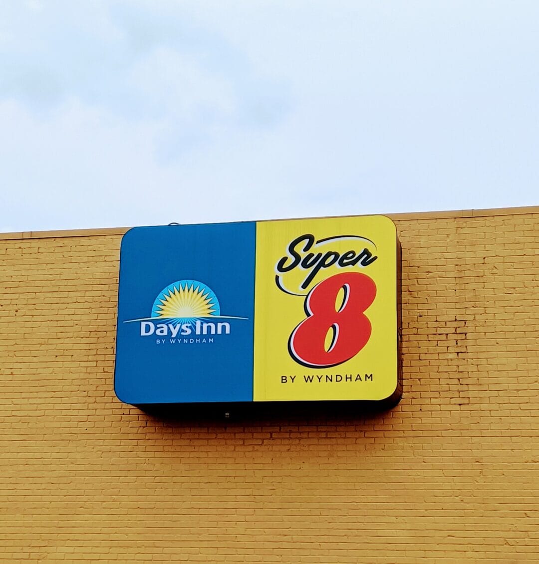
By then, all the foliage had vanished. The panorama had been taken over by a linear forest of tall metal poles, advertising one business or another, with names like Big Boy, Perkins, Love’s, Pilot Flying J, Super 8, Econo Lodge. Towering high over the restaurants themselves were the yellow arches, forming the giant “M” of McDonald’s.
Some 560 miles and 9 hours later, I took a break. The quads, the hams, and the deltoids needed to move.
Tolls take a toll
The next day, I hit the road before sunup. When I entered Indiana, Interstate 90 changed its name to the Indiana Toll Road and ran as that for the next 157 miles until Illinois.
I couldn’t keep track of the interval, but what seemed to be often, I’d have to stop at a toll plaza. Had I not returned my EZPass transponder a while ago, I could’ve driven through a purple lane at the gantry.
In the Midwest, some tolls were collected by a person in a booth and some by a machine. Some were a flat fee. Others were calculated based on the distance traveled or the number of exits passed. In such zones, you’d get a “ticket” on entering a toll road and pay its sum when exiting it.
One downside of a fuel-efficient but “compact” car is that it has a bantam fuel tank. The Nissan Versa I drive holds nearly 11 gallons. (Compare that with the BMW X5, which can carry twice as much: 22 gallons.) A fear that gripped me often, therefore, was of running out of gas.
I kept an eye out for one of these logos: a Sunoco, a Mobil, or a Shell. That drew me to an exit ramp, which, in turn, led to a wide-open, airfield-like space, dominated by an impressive building with a Googie flavor: a triangular, upswept roof, a gleaming façade, and a limestone colonnade.
One of eight “travel plazas” strung along the Indiana Toll Road, at gaps of every 30 to 50 miles, it was named after Ernie Pyle, an Indiana-born American war correspondent who won the Pulitzer in 1944 for his coverage of World War II.
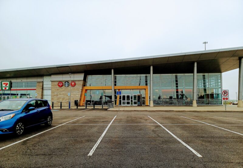
Its 15,000-square-foot, sun-lit interior had three eateries and a commodious, squeaky-clean dining atrium, among sundry other things: a bank of vending machines, phones, restrooms, ATMs. I sat down to a cup of hot black coffee and a slice of banana bread at Starbucks.
The travel plazas are the equivalent of modern-day oases. Instead of sands, green palm trees, camels, and pools of freshwater, you encounter a fleet of trucks, gas pumps, EV chargers, TVs, video games, eateries, and a mart that sells an assortment of tchotchkes, snacks, maps, beverages, and the odd offering of lottery tickets.
On to the West Side
The Mississippi River is a riparian border of sorts, dividing the eastern U.S. and the American West. I crossed it near La Crosse in western Wisconsin. Soon after, I was in Minnesota, the state where this grand river begins its meandering journey to the Gulf of Mexico.
The terrain was as level as a table. Huge white windmills flanked Interstate 90, which had an oddly red hue to it. I pulled over on the shoulder to soak up the stunning vista, but the wind was strong enough to knock me down. Little wonder that wind farms had been installed there.

South Dakota was just next door. As I sped into it, I read the posted speed limit: 80 miles per hour. The topography being what it was and the number of cars and trucks being what they were, it’d be strange to trundle along at 65 miles per hour.
The very next day, I retraced the same route for another 1,400 miles. Only, I was heading back east.
Alakananda’s trip
Meet the Roadtripper
More Voices from the Road
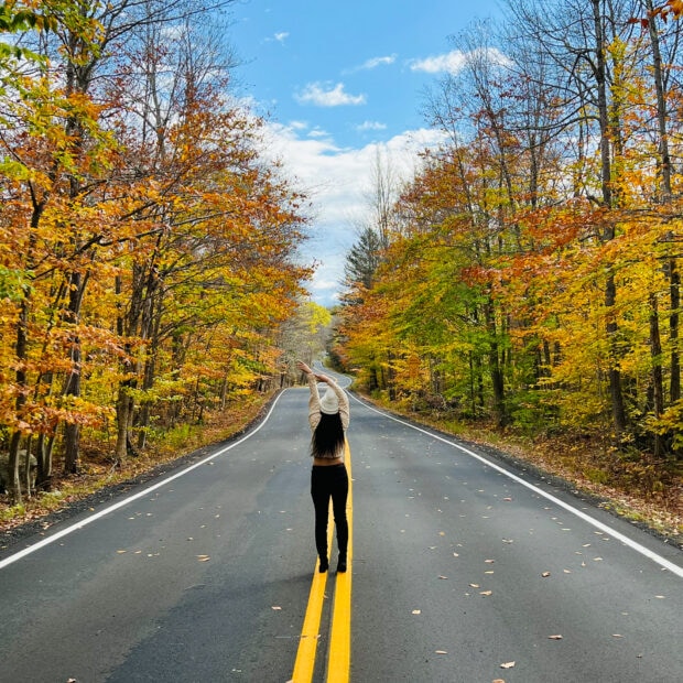

Scenic byways and mountain peaks: Reflections on a quintessential fall road trip in New England
Scenic byways and mountain peaks: Reflections on a quintessential fall road trip in New England

The road to Holi: Driving 800 miles to celebrate the festival of colors
The road to Holi: Driving 800 miles to celebrate the festival of colors