There are currently three national lakeshores preserved and administered by the National Park Service (NPS). All three stretches of shoreline are located along two Midwestern Great Lakes, Lake Superior and Lake Michigan, where visitors in all seasons will find myriad opportunities for water activities, sweeping dunes, pristine beaches, and unique geological features.
Here is a guide to all three national lakeshores in the U.S.
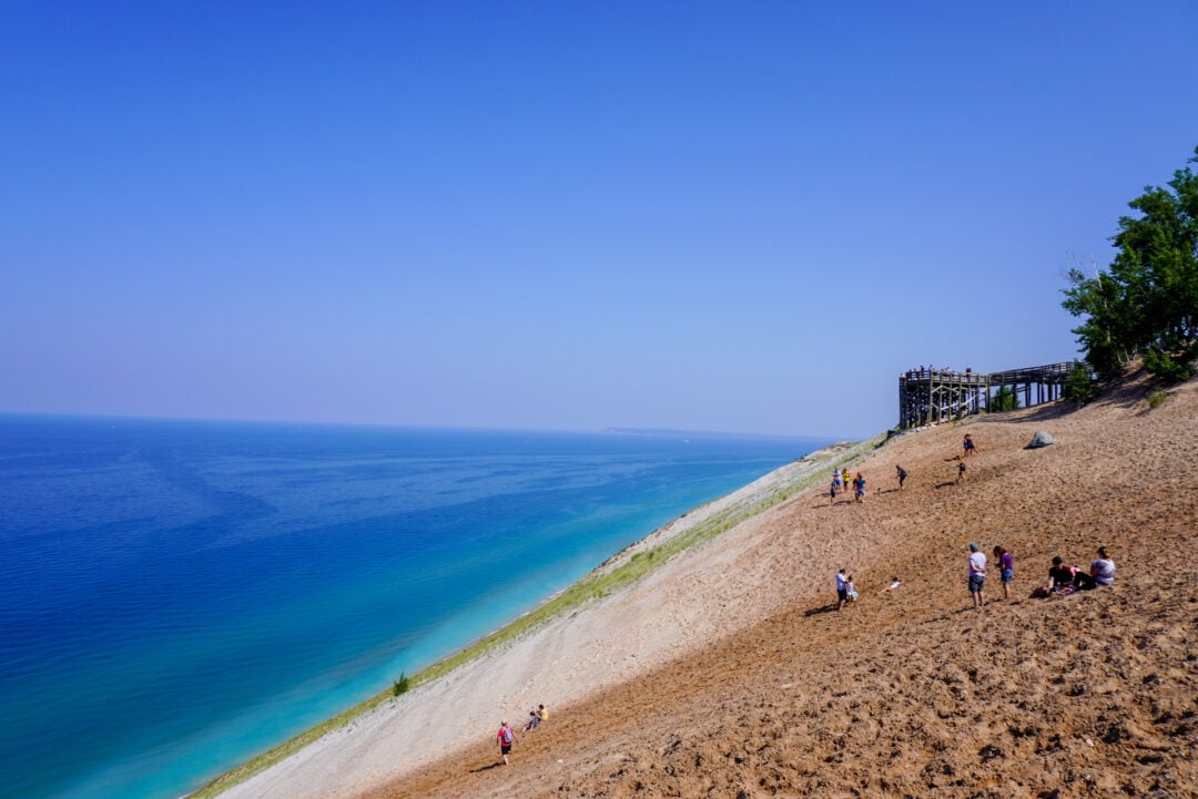
1. Sleeping Bear Dunes National Lakeshore
In 2011, Good Morning America named Sleeping Bear Dunes National Lakeshore “The Most Beautiful Place in America,” and it’s not hard to see why: The 35-mile stretch of shoreline along Lake Michigan comprises forests, dunes, glacially-formed landscapes, and photogenic beaches. Named for one large dune that was said to resemble a sleeping bear (the Indigenous legend takes a few different forms), Sleeping Bear was designated by the U.S. Congress as a national lakeshore in 1970; more than 30,000 acres of the park were designated as the Sleeping Bear Dunes Wilderness in 2014.
Can’t-miss stops on a road trip around Lake Michigan
The area’s maritime history includes several shipwrecks. The shore is dotted with lighthouses to better help ships safely navigate the unpredictable waters; today, visitors who are able to climb 117 steps up a spiral staircase can take in sweeping views of the Manitou Passage from the observation deck atop the 100-foot-tall South Manitou Lighthouse (active from 1871 to 1958). The Maritime Museum offers opportunities to learn about the U.S. Coast Guard with displays featuring life-saving equipment and other early 20th-century artifacts from the Great Lakes shipping industry.
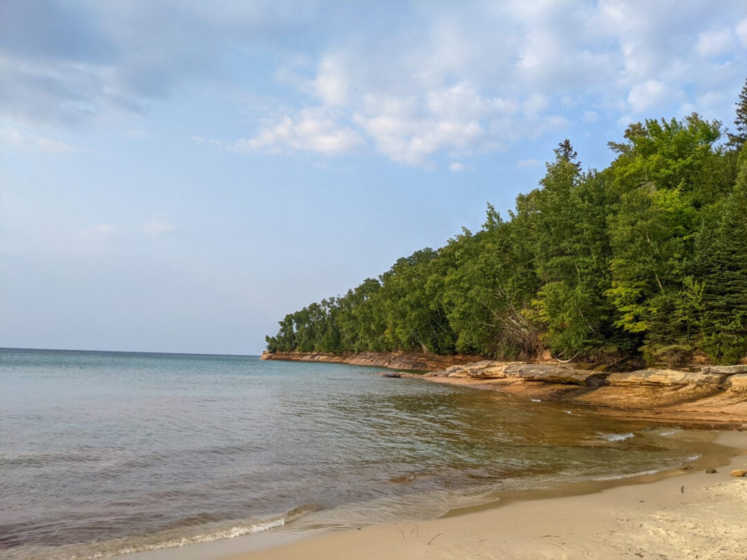
2. Pictured Rocks National Lakeshore
Pictured Rocks was the first of the three designated national lakeshores in the U.S. The 42-mile-long stretch of Lake Superior falls in Michigan’s Upper Peninsula and comprises 10 inland lakes, nearly 100 miles of hiking trails, and 15 miles of colorful sandstone cliffs that give the lakeshore its name. Every season brings new reasons to visit Pictured Rocks: In the summer, visitors are encouraged to camp or view the cliffs from a boat tour (permits and reservations required; leaf peepers flock to the region in the fall; and those willing to brave the freezing temperatures and unpredictable weather will be rewarded with picturesque frozen waterfalls in the winter and birding opportunities in the spring.
Pictured Rocks National Lakeshore is home to a circa-1870s light station on Au Sable Point. Continually staffed until the Coast Guard left in 1958, the lighthouse became fully automated in 1958 and today is operated by a small solar-powered light. Be prepared for a 1.5-mile walk (one way) to the lighthouse from the parking lot through a campground; don’t miss the exposed shipwreck remains on the beach below. Pets are permitted on the access road, but bicycles are not.
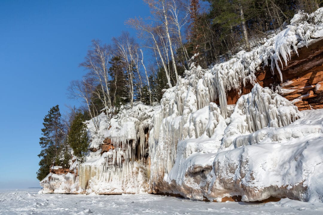
3. Apostle Islands National Lakeshore
The only designated lakeshore outside of Michigan, Apostle Islands National Lakeshore includes 21 islands and nearly 70,000 acres of Lake Superior shoreline in northern Wisconsin. There is plenty to see on the mainland, but while getting to the islands may be a bit challenging (there are no roads or vehicle access to any of the Apostle Islands within the National Lakeshore), the experience is well worth it: Visitors can use a private kayak or boat, or take one of several shuttles, water taxis, or narrated sightseeing tours. Although the lakeshore is open year round, visiting the islands is much easier outside of the winter or shoulder seasons when snow and freezing temperatures may hinder travel.
The main attraction of Apostle Islands National Lakeshore is its unique, remote, and natural landscapes. When conditions are ideal in the winter, the park’s ice caves wow visitors with their ephemeral beauty. But exacting conditions must be met before you’re allowed to undertake the 2-mile hike (round trip) on the lake ice, and can change rapidly—so make sure to check with the NPS before you plan your trip.
