A 13-foot bridge sign has a way of getting everyone in the cab very quiet. An RV GPS is built for the moments before that sign appears: when you are choosing a route that fits your rig, your comfort level, and the kind of trip you actually want to take. It is not just about reaching the campground faster. It is about traveling with fewer white-knuckle surprises and more time for the overlook, pie stand, swimming hole, or oddball roadside attraction that makes the drive worth remembering.
What makes an RV GPS different?
A standard navigation app usually sees your route as a line between Point A and Point B. For RV travelers, that line has real-world constraints. Your vehicle may be tall, heavy, long, or towing another vehicle. A road that works beautifully for a compact car may include a low clearance, a weight-restricted bridge, a sharp mountain switchback, or a fuel station with no practical way to pull through.
An RV GPS uses the details of your rig to help shape the route. Entering your height, length, weight, and propane status can surface potential restrictions before you meet them at the end of a narrow road. That information is especially useful around older towns, parkways, mountain corridors, and dense urban areas, where the “shortest” route is not always the route you want.
Still, specialized RV navigation is guidance, not a substitute for good judgment. Road conditions change. Construction detours appear. Clearance data can be outdated, and a route that is technically permitted may still feel like more than you want to handle in wind, rain, traffic, or darkness. Treat the map as a smart copilot, then use posted signs and your own observations as the final word.
Start with an honest vehicle profile
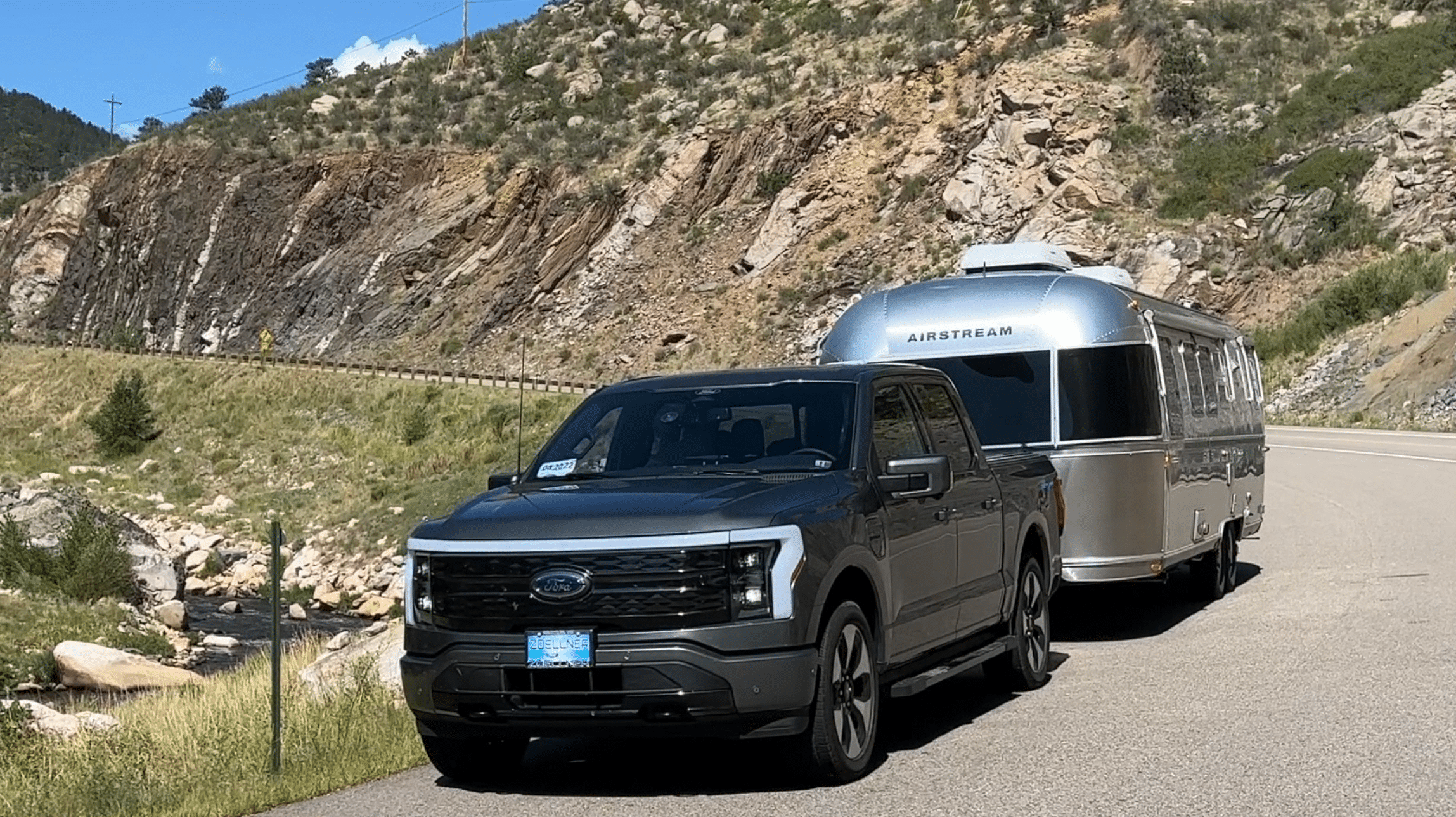
Your RV GPS can only plan around the information it has. Before a big trip, measure your rig instead of relying on a brochure or a guess. Include roof-mounted air conditioners, antennas, storage boxes, bicycles, and anything else that adds height. If you tow a car, trailer, or boat, include the full combined length.
Height gets the most attention, but it is not the only number that matters. Weight restrictions can affect bridge access, while length and turning radius influence whether a downtown fuel stop or campground entrance will be comfortable. A 40-foot motorhome and a 20-foot travel trailer may both fit on a road, yet the experience can be very different.
Keep the profile current. Swapping tires, adding a cargo carrier, loading a heavy water tank, or upgrading rooftop equipment can change the numbers. A few minutes spent verifying your setup before departure can prevent a long, inconvenient reroute later.
Plan for your driving style, not just your dimensions
Not every RV traveler wants the same kind of road. Some drivers are happy on a scenic two-lane highway with pullouts and small-town diners. Others prefer interstates, wider fuel lanes, and fewer elevation changes. Neither approach is wrong.
When comparing routes, consider the day you want to have. A mountain shortcut may save 35 minutes but add steep grades, tight curves, and concentration-heavy driving. An interstate route may be longer but offer more predictable fuel, rest areas, and overnight options. For a first day in a new rig or a rainy arrival after sunset, predictable often wins.
Build stops into the route before you roll
The best RV trip plans do more than identify a destination. They give the day some breathing room. Fuel stops, grocery runs, dump stations, campgrounds, and overnight parking all deserve a place on the map, particularly when you are traveling through unfamiliar territory.
Start by locating the non-negotiables. If your range is 250 miles, do not wait until mile 240 to search for fuel that can accommodate your rig. If you need a campground with electric hookups, reserve it or identify a backup before the afternoon rush. If you are heading into a national park, check where larger vehicles can park and whether the road to your planned trailhead has size restrictions.
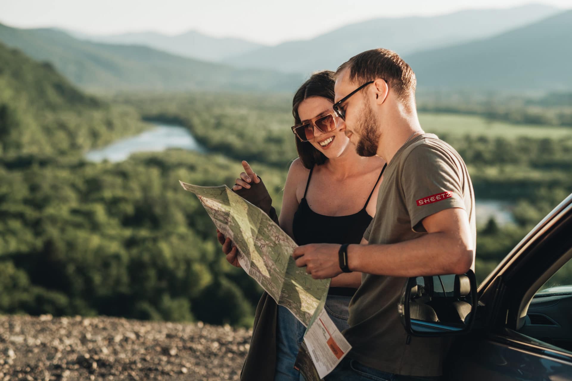
Then add the fun stuff. This is where an RV GPS becomes more than a defensive driving tool. Put the giant ball of twine, state park waterfall, old-school drive-in, local bakery, or scenic byway directly into the plan. With Roadtrippers, those practical stops and fascinating detours can live on the same trip map, so the day feels organized without becoming over-scheduled.
A good rule is to choose one anchor stop for each driving day. It might be lunch in a river town or a sunset viewpoint near camp. You will still have room for serendipity, but you are less likely to drive past every interesting place because you are racing an unrealistic arrival time.
Check the last miles to camp
The final approach to a campground is often where RV navigation needs the most human review. A campground may be close to a highway as the crow flies, yet the access road could be steep, unpaved, tree-lined, or full of sharp turns. The same goes for private driveways, harvest hosts, trailhead lots, and overnight parking locations.
Before departure, zoom in on the final few miles. Look for road names, turns near the entrance, and any obvious narrow sections. Read recent campground information when available, especially notes about big-rig access, site lengths, slope, and arrival procedures. If you will reach camp after dark, download offline maps and save the location well before you lose service.
Calling ahead can be the simplest move of all. Camp hosts and property owners know whether a road closure, storm damage, or a newly placed gate changes the usual approach. They can also tell you which entrance to use, a detail that can save you from an awkward U-turn with a trailer in tow.
Use offline maps as a travel essential
Cell service fades quickly once you leave major highways, and some of the most rewarding RV routes are exactly where coverage gets spotty. Desert roads, mountain valleys, forest service areas, and national parks are not the places to discover that your map needs a signal.
Download your route and key areas before leaving reliable Wi-Fi. Save campground confirmations, gate codes, reservation numbers, and screenshots of critical directions. It is also wise to carry a paper atlas and keep your next stop written down somewhere other than your phone.
Offline access does not mean you should stop paying attention. It means you have a backup when a detour, a dead battery, or a patch of no service interrupts the plan. The calmer you are when technology hiccups, the easier it is to make a safe decision.
Let the route change when the day changes
Even the best RV GPS plan has to make room for reality. Headwinds hurt fuel economy. A scenic stop turns into a two-hour wander. Traffic backs up near a city, or a campground check-in window is closing faster than expected. A flexible plan gives you choices instead of pressure.
Build in a cushion, especially on travel days. Many experienced RVers find that shorter driving days lead to better trips: enough time to set up camp in daylight, explore nearby places, and recover from the small tasks that come with life on wheels. If the weather turns or the road feels wrong, taking the longer route or stopping early is not a failed plan. It is good travel judgment.
Your rig opens up a remarkable slice of America, from quiet county roads to big-sky interstates and campgrounds beside places you once only saw in photos. Use your RV GPS to handle the logistics, then keep your eyes open for the hand-painted signs, unexpected overlooks, and detours that turn a safe route into a great story.
Meet the Author

Get more vacation inspiration straight to your inbox.
By entering your email, you agree to receive marketing emails from Roadtrippers. You can unsubscribe at any time. See our Privacy Policy.


 Download from Play Store
 Download from Apple App Store