A sapphire dot at the edge of a national forest isn’t anyone’s favorite part of a road trip. But it keeps showing up. The highway turns into a two-lane strip. The two-lane road turns into a gravel trail. And just as the portal to the campground appears on the horizon, your signal disappears. Offline maps keep the road trip moving when your phone’s bars disappear.
And they’re most useful in the kinds of places that make driving worthwhile: mountain passes, desert backroads, backroads in national parks, canyon cathedrals, coastal bends and the bright, open miles between small towns. With a little planning, you could spend less time staring at unmapped intersections and more time stopping for trailheads, overlooks, pie and other quirky, special things along your route.
Why offline maps for road trips belong in your plan
Cell service is a spotty travel companion. It may drop off in the middle of the backcountry, get crowded on a holiday weekend or disappear in a park, tunnel, canyon or elsewhere. And even on your usual interstate, a flake of connection could thwart a detour in case of crash or construction.
With an offline map, you download certain map data to your device before you head out. And as your phone continues to pick up satellite data, you can typically see where you are and see the roads you’ve downloaded. Here’s the key difference. GPS tells you where you are. Downloaded map data puts context around that location.
For families, an offline map can cut down on “are we there yet” from the backseat. For motorcyclists, it can cut down on pulling over at every confusing intersection. And for RVers, it adds security in case the next campground, gas station or legal place to sleep is too far to rely on cell service.
An offline map doesn’t make your trip fixed. It gives you enough confidence to take a scenic detour, chase a hand-painted sign to a museum in town, or take the longer route up through the mountains. And it takes some of the worry out of the possibility that a dropped signal could make your detour into a dead end.
What offline maps can and cannot do
Powerful as a downloaded map is, it isn’t perfect. It helps to know your destination before you head out, so you can have a backup plan.
Most navigation apps can show you turn-by-turn directions on roads in your downloaded area, your position in that area and your favorite haunts. Depending on the app and your settings, they might even retain some of your route and let you search the area covered by your map.
But they can’t bring you the energy of the moment. Who knows? A route that looked perfect when you left your breakfast could well turn up blocked by road construction, a wildfire, a seasonal gate or accident in the afternoon. Fuel prices could have changed. Weather could have arrived. There might be a new campground open. And hours of nearby businesses could have shifted.
That doesn’t diminish the value of a map offline. But it does suggest that, for best results, you’d want to use it with some judgment in planning your trip.
Download maps before the pavement runs out
While you have service, check road conditions. Trust the signs. And don’t follow a turn-by-turn instruction that conflicts with a road closure, restriction or your own judgment.
Best to build your map areas at home, at your hotel or someplace with good Wi-Fi. Depending on your route, your map could easily span several states and include complex terrain and points of interest.
Download the big road first, but also include nearby trailheads, state parks, towns and other points of interest you might detour to. If you downloaded only a sliver of the fastest route from Denver to Moab, you could well be stuck if you suddenly want to take a scenic drive.
Save the places that matter most
Your navigation app might still have some of the saved points offline. But don’t count on every detail. Before it goes dark, save the overnight point, trailhead, fuel stop, grocery store, visitor center and any must-see attractions.
And try to pick up key information about these places in more than one way. Save the confirmation for the campground in the phone’s notes. Take a screenshot of instructions for meeting a friend, entering a campsite or navigating some tricky approach. And if the park has a downloadable map in PDF format, save that too.
If this is a multi-day trip, think about grouping stops by day. That way it’s easy to see what’s ahead in the map, without having to scroll through a long list of points.
Test your setup before departure
While a Wi-Fi connection is still available, open up the map, pick a saved point and check that it pops up on the screen. Then switch the phone to airplane mode. Can the location, the roads downloaded and the saved stops still be seen?
Here’s a good time to check the app and phone storage. It’s easier to fix a half-downloaded map, a PDF of a map that’s incomplete or a phone low on space from a couch than from some dusty pullout 40 miles from town.
Take a charging cable that works in the car and, if driving a long day, a spare battery. A phone battery can drain fast as navigation is used in the heat of summer.
A mount for the phone in the dashboard will keep directions in view. But don’t put it in a spot where it’ll get direct sun.
Build a navigation backup that fits your trip
Downloaded maps are part of a smart set-up for a road trip. But they aren’t all there is to it. Depending on the mode of travel and destination, different kinds of backup will be wanted.
In a weekend drive between cities, a traveler could get by with a map of the area, a charger for the phone and a bit of gas.
On a cross-country trip, add printed directions for, say, the last 30 miles into a cabin in the woods or a series of highways between the gate of a park. In a pinch, paper beats electronics. For travel near the backcountry, let someone know when the vehicle will be on the road and when arrival is expected.
Take snacks, water, warm clothes and a simple emergency kit.
Navigation can guide a traveler, but it can’t unstick a flat tire on some ghost road or open up a closed mountain pass.
Roadtrippers will help keep the route, stops along the way and offline maps handy as a trip is planned into parts of America where the signal fades.
More important, it’ll help pull together key details of the trip before the drive gets more adventurous than anticipated.
RV and towing routes need another check
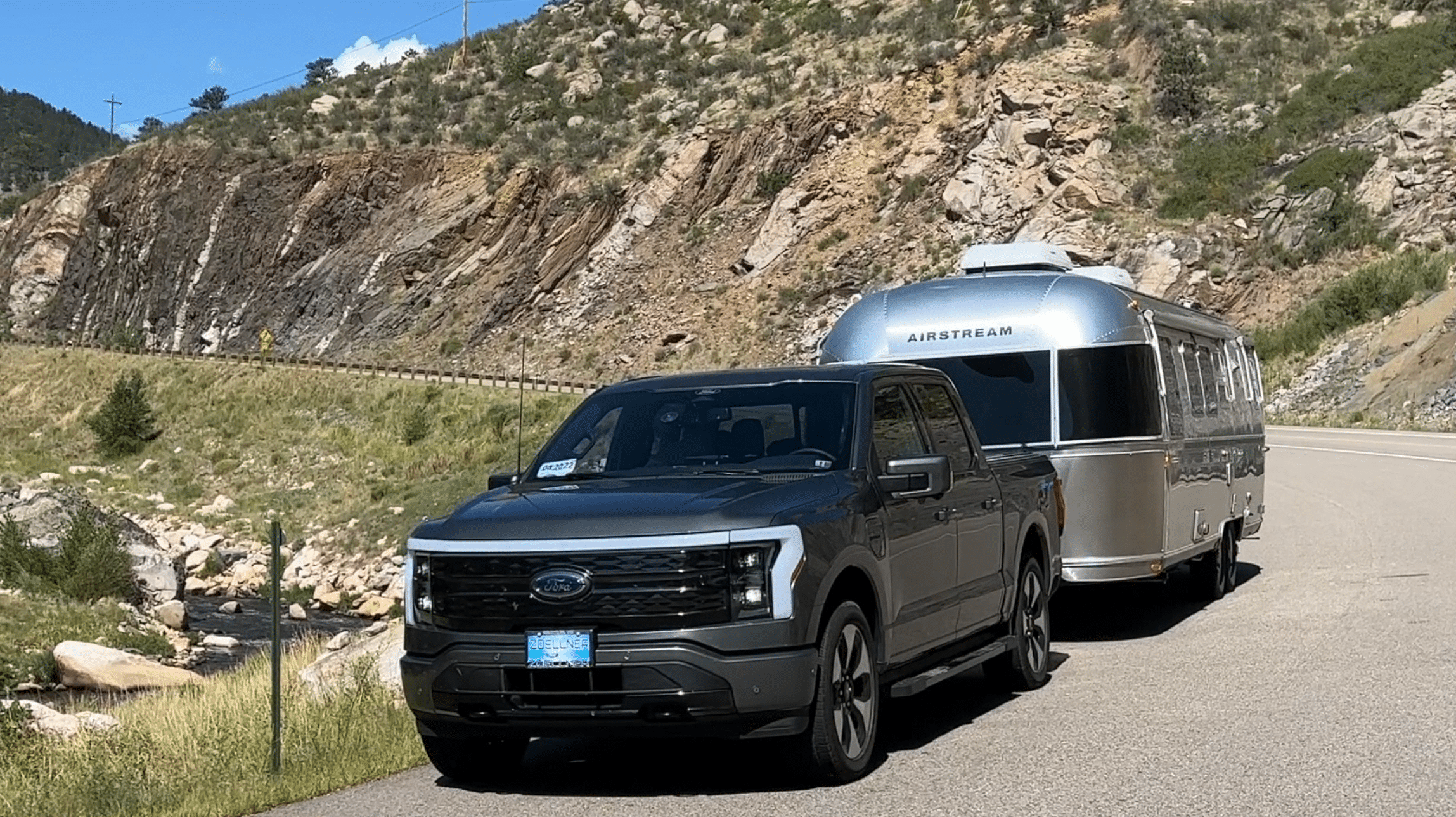
If driving a motorhome, pulling a trailer or driving a tall camper van, offline maps will be wanted. But even with them, general navigation isn’t enough. A road may well appear on the map but could well be unsuitable for the vehicle.
Before heading out on a route, check the vehicle’s length, height, weight and range. Look out for mountain passes that are closed in the season, switchbacks, steep grades, low bridges and roads closed to larger vehicles.
No matter how good the downloaded directions are, local warnings and posted limits will always take precedence.
Build in fuel stops. In the wilds, the next station could be farther than thought, closed for the season or tough to reach in a big rig. And the same could be true of the overnight stop.
Before the signal goes out, save the address, directions to the entrance and an alternative stop nearby.
Keep maps current without overthinking it
And a day or two before departure, look over the downloads. Often trips are planned weeks or months ahead. But roads change, map files go out of date and in the fall a destination may well have different access than it did in spring.
If the trip cuts across regions, download maps in chunks rather than the whole country at full detail. That way storage space will be saved and it will be easier to check that key areas are covered. Prioritize the stretches where you expect the least service: national parks, mountain ranges, deserts, forest roads, and the final miles to remote lodging.
When you regain a connection, check traffic, weather, closures, and any changes to your next stop. Then let the offline map take over again when the road leads beyond the last cell tower. That is often where the best stories begin.
Meet the Author

Get more vacation inspiration straight to your inbox.
By entering your email, you agree to receive marketing emails from Roadtrippers. You can unsubscribe at any time. See our Privacy Policy.



 Download from Play Store
 Download from Apple App Store